


Aegean Island Beach inventory (database)
WP-2. A data base of the spatial (length, width area and orientation) -and where such information is available- of the geological, wave and hydrological characteristics of all the Aegean island beaches will be constructed (WP-2.1 and WP-2.3). The beach spatial characteristics will be recorded/analysed using widely available remote sensing information (Google Earth Pro) and web-GIS tools (Velegrakis et al., 2009), whereas the potential for parameterisation/correlation of all the physical characteristics will be studied using advanced statistical tools (WP-2.5). The accuracy of the remote sensing information and its sensitivity to different controlling factors will be assessed at case study beaches (see below), which will be carefully selected (WP-2.2). As the effects of climatic changes with regard to expected sea level rise and extreme wave/storm surge events are regionally variable (Tsimplis and Shaw 2008; Tsimplis et al., 2008) a detailed assessment of their current status and future dynamics will be also carried out for the Aegean Archipelago (WP-2.4). The beach database could form the basis of a desperately-needed Greek Beach Inventory.
Includes the following Tasks and its Deliverables (D):
- 2.1 Spatial characteristics of the Aegean island beaches
- D-7. Beach database (technical report)
- 2.2 Selection of pilot (case study) beaches
- D-8. Selection of pilot beaches (technical report)
- 2.3 Geo-environmental characteristics of the pilot beaches
- D-9. Geo-environmental characteristics of the pilot beaches (technical report)
- 2.4 Sea-level change forecasts
- D-10. Sea Level Change Forecasts (technical report)
- 2.5 Statistical analysis of the beach database
- D-11. Statistical analysis of the database (technical report)
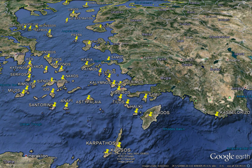
Greek Archipelago beach database island grid

